207km; 1,400m ascent; 1 pass (Passo del Brennero: 1,370m); drank 6.0 litres
town passed:
Bressanone/Brixen; Vipiteno/Sterzing; Innsbruck; Schwaz; Wörgl; Kufstein
223km-218km-204km-207km – this seems to be the magic formula for getting from Nice to the Bavarian Rosenheim in four days by bike. So to keep it short: Yes, I made it back home on day number 4 – and am now happily giving a) my legs a rest for a couple of days, b) all my clothes a proper machine wash (not just the regular but never quite optimised hand wash throughout the tour), and c) my bike a proper service.
This day that would become the last one of my wonderful trip along/across/over/through the Alps started cloudier than the other days, however, invigorated by a nice dinner the night before together with my sister and her boyfriend who are currently on holiday in the Dolomites and therefore just round the corner of where I stayed in Klausen plus my last passroad ahead of me, signs pointed to another good day.
 the very last pass of my journey
I was on top of the highest point of my trip back (Passo del Brennero, with 1,370m) around noon. A special feeling again as Brenner pass is the pass road I’ve cycled up by far the most of all passes in my life, it was my first serious pass ever I cycled in the Alps. And it definitely was the last pass on this journey from the east to the west and then the south to the north. A bit sad on the one hand. On the other hand, pedalling down to Innsbruck and then having reached Inn river valley gave me this special feeling of home really only being a stone’s throw away now. Not that I wouldn’t have enjoyed all the places I’ve been to – however, completing this trip by arriving at home made it even more special… and therefore it definitely was the right decision to not have finished this trip in Nice already.


‘Europabrücke’ near Innsbruck (highest beam bridge in Europe) [above] and ‘Bergisel ski jump’ [below], both with – snow-covered (!) – ‘Karwendel’ mountains in the background
Even the last day wasn’t a piece of cake though. For the fourth day in a row, I had to fight the headwind (on the first two days only a very little and not continuously, but on day number three in an extreme way, and on this last day also quite annoyingly). Probably someone thought it’d have been too easy for me if I had tailwind all my way home?!
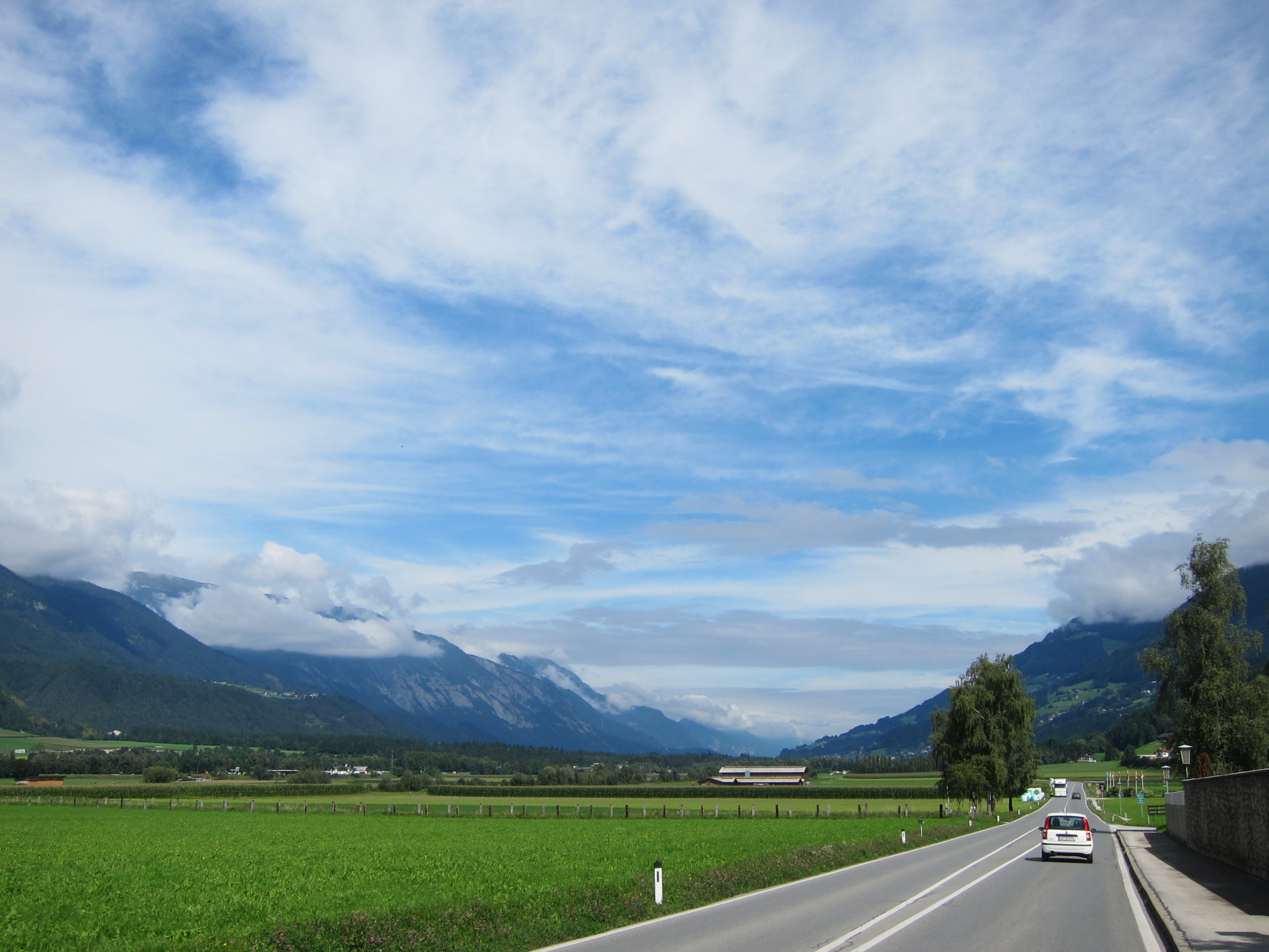
 Inn river valley towards and in Kufstein
Anyway, certainly not the time to complain – I arrived in Rosenheim, well, I would want to say ‘in  the evening sun’… but that would be a bit too much of an exaggeration… yes, ‘evening’ is certainly true, ‘sun’…
  ahem, no. Dark clouds basically welcomed me when I crossed the Austrian-German border in Kufstein. But then again, who cares? I certainly didn’t – and my pack of sunscreen was empty anyway.
Obviously I finished in style: with a big cone of ice cream 🙂

PS 1: the “windy videos” of day three are online in the post ‘my way home – part 3’ now too (five videos in one playlist)
PS 2: I’ll ‘complete’ this blog with a final summary, with uploading all the photos, GPS tracks, further comments etc. by the end of this week – just be a little patient please. First and foremost I wanted to let you know that I arrived home safe and sound.
accurate route details (incl. GPS track):
Vienna-Nice Transalp – ride home part 4 (Klausen-Rosenheim)
Start date/time: Wed, 3 Sep 2014 8:53, distance (km): 205.45, elevation (ascent in m): 1,087
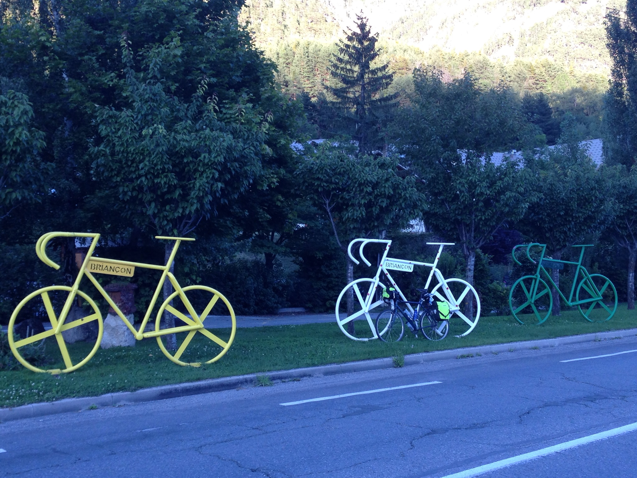
all photos of the day: